
Many people will have seen the recent TV documentary, Dirty Business, which uncovered poor financial and practical management in privately owned water and sewage companies, and the associated routine discharge of untreated sewage into our rivers.
This is happening all over the country, and even on The Lizard our streams are under constant pressure. This pressure comes not just from water companies, but also from a depressing litany of other sources: pesticides and herbicides, sediment and runoff from fields and roads, septic tank effluent, holiday park wastewater plants, and so on. Overall, it’s a complex issue with no simple answers, so it’s impossible to say for certain who’s at fault. It’s probably those people who eat food, drive cars, go on holiday, live their lives and so on – which is everybody!
The Environment Agency (EA) is the statutory body which monitors stream ecology and pollution. Unfortunately, significantly lowered funding over the last twenty years has reduced the EA’s ability to fulfil this role. The Riverfly Monitoring Protocol was originally developed in 2007 by the EA and scientists at the Freshwater Biological Association in order to detect pollution events, generate robust reproducible data, support EA oversight and provide baseline data for watercourse restoration projects.
Riverflies are the canaries in the coalmine of our streams. Sudden declines in their abundance and diversity provide evidence of pollution and reveal long-term ecological change. Wildlife Groundswell has a plan to establish a network of riverfly monitoring sites across the Lizard Peninsula. Our focus includes the Lower River Cober, the streams flowing into the Loe Pool SSSI and streams flowing both north and south into the ecologically important Helford Estuary Marine Conservation Zone.
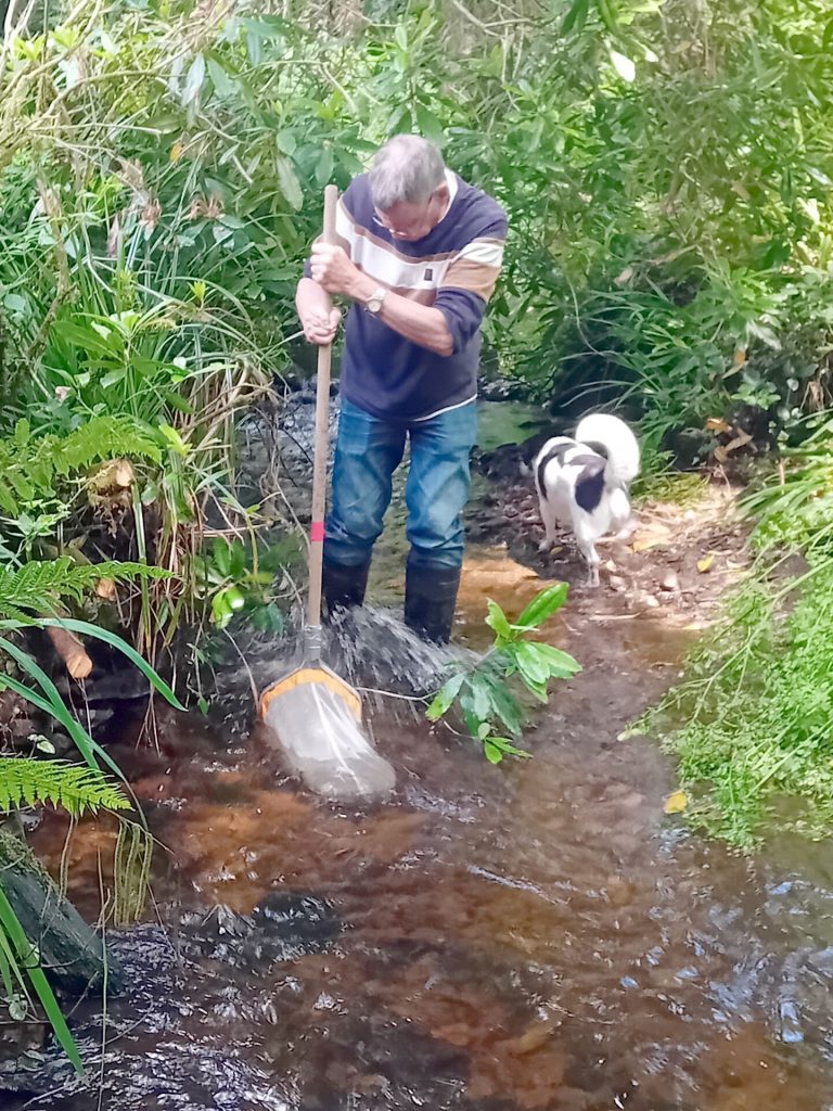
Each month our trained “citizen scientist” volunteers do a 3-minute “kick-sample” to collect invertebrates (caddis and mayfly larvae plus freshwater shrimps) living in the stream bed. These are identified, sorted into eight key groups and counted using an established EA protocol. The results are uploaded to a national database to build a long term record of stream health. A single survey takes about 40–60 minutes. It’s a simple technique, open to anyone with a half-day to spare each month and some enthusiasm.
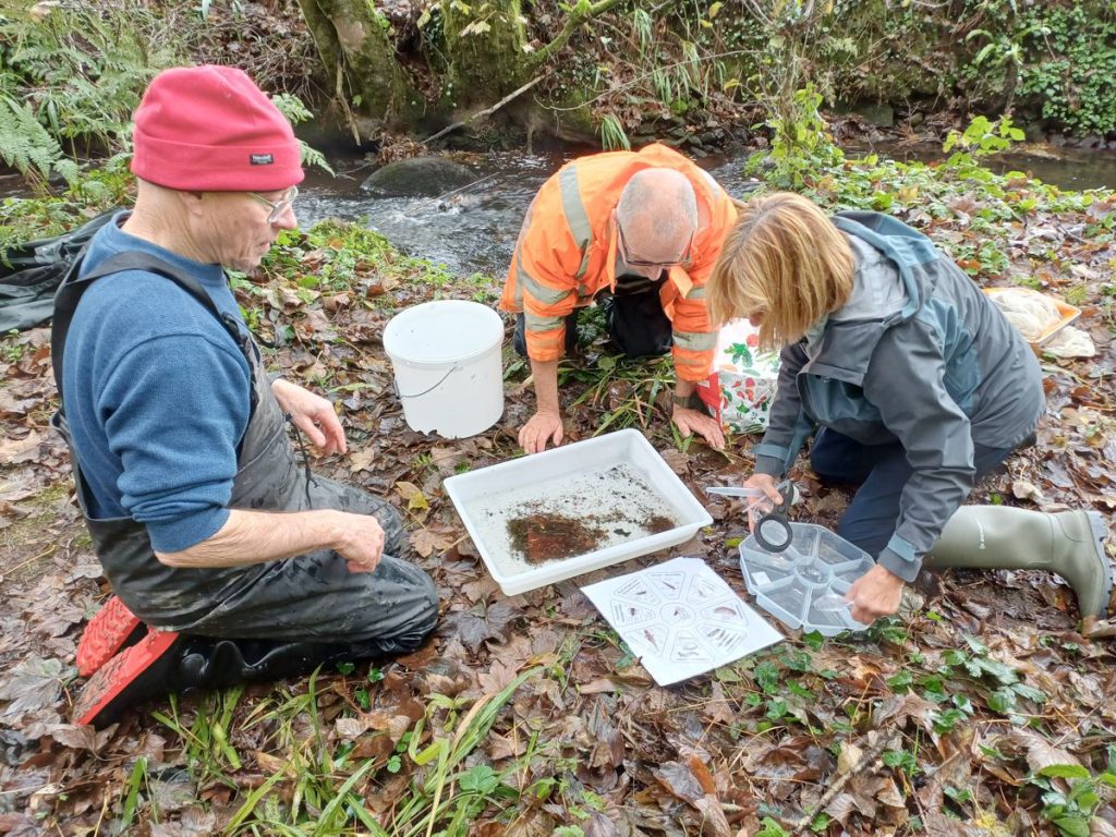
Find out more about what is involved by watching this very useful 6-minute YouTube video introduction.
Our monitoring is starting to bear results: last year we identified extremely high phosphate levels in the Poltesco River which were reported to the Environment Agency incident hotline: this prompted a walk-through by EA officers to identify the source. Further afield the group reported very poor results in the Cober downstream of Helston sewage works and in the Lestraines River below Constantine sewage works.
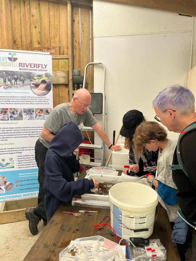
Festival at Rosuick Farm in May 2026
With limited data it is difficult to conclude how The Lizard area compares with the rest of Cornwall. Thus far, the streams flowing north into the Helford (Manaccan River, Carne stream, Tremayne stream, Frenchman’s stream) generally appear to be in better health than the Poltesco River or Cadgwith stream. This is a long-term project and more consistent and high quality data is needed to identify problem locations and support lobbying for improvements.
If you would like to attend a riverfly monitoring training day and join the local group please email wgstreamtesting@gmail.com or call 07763 479445
Article by Justin Evens, Coordinator, Wildlife Groundswell Riverfly Monitoring Group