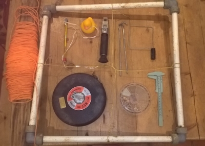
Thirty years ago when the Helford River was designated as a Voluntary Marine Conservation Area a survey was established to provide baseline information and ongoing monitoring of the intertidal in this area. It was designed to be a simple, inexpensive and therefore easily repeatable, a non-destructive baseline monitoring system to be carried out at regular intervals to try to detect any changes in the flora and fauna.

Transects were laid out with grid references, compass bearings and features all taken down to make sure there is no doubt from year to year about where they lie.
Originally bolts were set in the top of the transects to make this easier but over the years many have disappeared, one is now hidden under a certain resident’s decking on Helford Bar!  In recent times with GPS available this has become a little easier and each quadrat has its own coordinates logged.
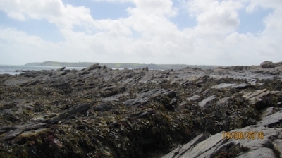
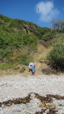
The substrate is recorded, bedrock, silt, sand, coarse sand etc. and all flora and fauna is counted either as percentage cover for seaweeds, barnacles and other sessile organisms, or as individuals such as Shore Crabs, Limpets and Winkles. Note is taken of the changes in zonation from splash zone through to lower shore and characteristics of the zones the transect passes through. All data is entered into a report and ongoing monitoring review and then published. This Autumn Helford Group Volunteers are undertaking the survey again, some transects have been dropped as they were established in the first instance to compare intertidal mud and Eelgrass beds and sadly some of the Eelgrass beds are no longer there. This year we have added a rocky shore transect at Prisk Cove which should prove fun to do given the huge variety of marine life found there.

Published: Aug 2016
Author: Sue Scott HMCG Coordinator
